

Introducing Bluebeam Max
AI-Suprcharged Bluebeam Max - The Biggest Upgrade to Bluebeam Revu in Years
If you've been keeping an eye on what's happening in construction...
Information is rapidly becoming the most critical resource in the AECO industry. From design to facility management, the ability to capture, process, and respond to accurate information has a direct impact on cost, safety, and project outcomes.
Scan to BIM is a key component in delivering data that can be translated in the field into information that helps stakeholders.
To leverage this value, it is essential to start with a solid foundation, understanding:
Not all data is abstract in construction. The raw evidence of conditions, progress, and decisions is collected in numerous different forms, including point clouds, images, GNSS/total station records, survey logs, RFIs, asset IDs, and schedules. The usefulness of such data is determined by its accuracy, precision, completeness, timeliness, accessibility, and provenance.
On any project, data can come from a variety of sources, such as:
How data is collected can make all the difference. Each method has its strengths and trade-offs; for instance;
A high-density scan captures every small detail, such as tiny pipe offsets, that makes it easier to detect clashes and prefabricate with confidence. But a low-density scan might overlook those subtle details, leading to costly rework later. The choice of method can mean the difference between smooth progress and expensive setbacks.
Raw data on its own doesn’t mean much. To be useful, it needs to be transformed into information, something structured, validated, and aligned with the project's needs. In BIM construction, this might involve geo-referencing, capturing a point cloud, cleaning the scanned model, segmenting the point cloud, and mapping data to project coordinates. Only then does data start becoming truly valuable.

A helpful way to think about this process is through the DIKW model:
This model illustrates how raw inputs are refined step by step until they directly support informed decisions.
So, what does “information” look like in construction? It comes down to context and structure. A point cloud becomes meaningful once it’s aligned to project coordinates, cleaned up, and segmented.
One important concept here is the Level of Information Need (LOIN). This defines what level of geometry, properties, and documentation is required. Agreeing on this early in a project prevents confusion later.
It’s also worth distinguishing between data for machines and information for decisions. A scan might feed into automation tools, while structured reports from that same scan are what project managers and decision-makers need.
Some everyday examples include:
For information to stay useful, it needs to be consistent and shareable. That’s where standards and interoperability come in. Following an openBIM mindset, with deliverables such as IFC, BCF, and IDS, ensures that information can move smoothly between platforms.
Dashboards are also a key part of this. They can track progress, highlight deviations, show quantities, log issues, and manage approvals. The goal is always to create a single source of truth, so information isn’t duplicated or conflicting.
Information is powerful, but it’s knowledge that drives real action. A BIM construction model, for instance, is more than just geometry; it’s a knowledge base. It blends data and information to guide design, construction, and operations.
The actual value comes when expert judgment is applied on top of this. Knowledge helps determine which systems to prefabricate, where resources should be allocated, and how to manage risks across the BIM in the construction industry. And wisdom, built from years of experience, helps ensure that projects are safe, cost-effective, and sustainable.
Ultimately, data becomes more than just numbers. It evolves into knowledge and wisdom that inform better decisions and more accurate project outcomes.
Any Scan to BIM workflow starts long before a scanner is turned on. Success depends on clarity around the why, what, and how of data capture. Without this alignment, it’s easy to collect too much, too little, or the wrong kind of data.
Some common objectives include:
When these requirements are established in advance, fieldwork becomes sharper, and the outputs directly connect to decision-making.
Data in construction management follows a clear journey—moving from raw inputs to decision-ready insights. Think of it as a loop:
This cycle mirrors the DIKW ladder: raw data becomes structured information, which fuels knowledge, and ultimately leads to wise decisions.
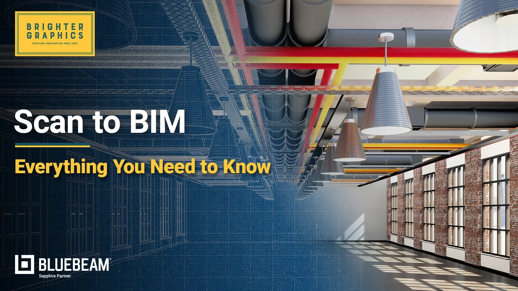
Scan to BIM refers to the act of measuring physical conditions using 3D scanning devices and converting them into BIM models that can be put into practical use. Scan-to-BIM services provide the value of making decision-ready information that avoids rework, enhances collaboration, and facilitates lifecycle management.
The journey typically begins with capture, where site conditions are documented using tools such as laser scanners, drones, or mobile mapping devices. Next comes registration and georeferencing, where multiple scans are stitched together into a single, accurate coordinate system.
Once aligned and verified, the data moves into the modelling stage, where point clouds are transformed into BIM components such as walls, floors, pipes, and equipment. Finally, the outputs are put to use, whether for prefabrication, compliance checks, design validation, or construction project management
verification, or facility management.
Scan to BIM isn’t just a one-time, straightforward process; it remains instrumental throughout the entire AECO lifecycle. In the early stages, it supports due diligence by giving an accurate picture of existing conditions. During design, it validates plans against real-world site constraints.
Building information modelling in construction helps track compliance and monitor progress. At the as-built and handover stage, it ensures accurate digital records are delivered to the owner. And finally, in facility management, it supports long-term asset optimisation and even predictive maintenance.

An effective Scan to BIM process has a well-organised format. All stages ensure that the raw data collected in the field is converted into a trustworthy BIM model that supports informed decision-making. The following is an in-depth playbook that you can refer to:
Every Scan to BIM project starts with clarity. Before fieldwork begins, teams need to clarify the purpose of the scan; whether it’s to validate existing conditions, detect clashes, document as-built compliance, or prepare for handover. Each of these goals is associated with its own accuracy levels and data requirements.
Scope is just as important: are you covering the entire facility or just critical areas, such as MEP-heavy plant rooms? Defining tolerances, deadlines, formats, and deliverables upfront helps avoid surprises. The best safeguard is to capture all of this in a Scan-to-BIM brief and Laser Scanning Verification planner before heading to the site.
A scan is only valid if it aligns with your project’s coordinate system. This involves selecting the appropriate reference grid, designating permanent control points, and considering safety or access restrictions when planning. Misalignment downstream can trigger costly clashes and rework, so it’s worth cross-checking control points early and locking the system in with the surveyor’s benchmarks.
Before scanning, it’s essential to opt for the proper capture method. The decision depends on the project’s goals, the type of site, and any safety constraints. No single tool is suitable for everything; some are better suited for accuracy, while others are better suited for speed or accessing hard-to-reach areas. Often, teams combine methods to get the best results.
|
Method |
Accuracy |
Best For |
Limitations |
|
Tripod scanner (ground-based laser scanning) |
Millimeter-level |
Structural steel, façades, heritage works |
Slower, needs multiple setups |
|
Walk-around SLAM scanner |
2–5 cm |
Interiors, large/complex spaces, progress scans |
Less accurate than a tripod |
|
Drone scanning (photogrammetry or LiDAR) |
25 cm–5 cm (depends on altitude) |
Roofs, exteriors, hard-to-reach areas |
Weather restrictions, airspace permits |
Execution in the field determines the reliability of everything that follows. Scans should overlap by 30–40% for proper stitching, supported by contextual photodocumentation and 360 reality capture that helps colourise and orient the point cloud later. Complex geometries scanning should be handled with attention to detail. Document site conditions in field notes and create backups before leaving the site. A quick on-site coverage check prevents missing areas or data loss.
Once captured, the data is stitched into one dataset. Registration software aligns scans using control points or natural features, and loop closure errors are checked against tolerance (e.g., <5 mm). A brief registration report should accurately record the methods used, thereby elevating transparency for downstream users.
Before moving into modelling, you must validate the data against standards and controls. Your construction teams should confirm coverage, completeness, and accuracy, obtaining sign-off before modeling starts. Skipping this step risks wasting time on incomplete or low-quality data.
Raw scans often contain clutter, such as people, vehicles, or temporary structures. Cleaning involves removing distractions, organising scans by zones or floors, and creating lighter copies for design coordination or visualisation.
But remember the golden rule: don’t over-clean. Always archive both raw and processed datasets to preserve fidelity.
This is where the point cloud is converted into a BIM model. Walls, floors, columns, and MEP systems are traced directly over the scan, guided by accurate field conditions modelling using spatial data with agreed standards for naming, classification, and attributes.
Teams should model only to the Level of Information Need (LOIN), avoiding over-modelling. Historical tracking across versions also supports accountability and comparison. Ensure BIM verification with each model completion to detect errors early at every stage.
The model QA/QC now bridges the gap between design intent and model through construction verification. Deviations are flagged early by comparing the BIM model to scanned data, spatial context, and actual conditions. All the issues are logged, prioritised, and resolved within a Common Data Environment. This as-built verification involves visual error detection and deviation reporting, ensuring costs and risks are tracked and managed rather than left to chance.
The final step is delivery. Stakeholders should receive scans, models, 2D sheets, and all supporting documentation in both native and open formats (IFC, PDF, Navisworks). You must clearly index and store the files in the agreed project folder structure. A well-documented handover, following automated QA/QC and robust BIM verification, not only builds trust but also ensures that information remains usable long after the project is complete.
Scan to BIM isn’t just about documenting what’s there; it delivers real, measurable value when accuracy, certainty, and coordination matter. For example, in a significant renovation project undertaken by the US Army Corps of Engineers, the use of 3D scanning and BIM resulted in approximately 30% fewer design changes and a 25% reduction in rework, saving two months on the schedule and 7.4% of the cost for a steel canopy segment.
In another study examining steel truss fireproofing, the pairing of BIM and laser scanning significantly reduced both physical waste and non-physical waste (which includes time/cost overruns) by generating more precise quantity estimates and area calculations than traditional survey methods.
Contractors also frequently report that BIM (often involving Scan-to-BIM workflows) streamlines their work processes more efficiently. In a 2025 industry survey, 67% reported better efficiency and fewer surprises, and the cost of “failures” (what ends up being redone or replaced) dropped from around 11% of the project value down to approx. 7% when BIM was used.
Construction technology is advancing rapidly, and teams using robust Scan to BIM practices must be prepared for the next leap. Artificial intelligence is already reshaping the way we scan, model, and build, as tools can now automatically recognise walls, pipes, and ducts, and assign confidence scores. However, it still keeps people informed to ensure quality.
Mobile mapping is also making it possible to repeat scans and compare updated scans with the model for robust construction verification, helping teams:
All this, without needing constant on-site monitoring. At the same time, digital twins are becoming the new standard. By connecting BIM models with real-time sensor data, they enable predictive maintenance, more innovative performance management, and better decision-making across an asset’s entire lifecycle.
In fact, the global digital twin in construction market is expected to grow at a compound annual growth rate (CAGR) of 17.3%, reaching $93.53 billion by 2029, according to the Business Research Company. The BIM extraction software market is also on the rise, projected to grow from $10.78 billion in 2024 to nearly $36 billion by 2035 at a CAGR of 11.6%. Government mandates, advances in AI and cloud platforms, and the growing need for integrated digital tools are driving this surge.
Open standards are maturing too, with IFC, BCF, IDS, and other formats making information easier to share and reducing vendor lock-in. On top of that, automated QA/QC is becoming increasingly efficient. Scripts can now check for deviations, validate deliverables against agreed-upon standards, and generate reports on any deviations found. It saves a significant amount of time and manual effort for teams, elevating their confidence in the models they deliver.
In today’s AECO industry, where regulations are stricter following the Building Safety Act 2022, Scan to BIM is no longer a “nice-to-have”; it’s quickly becoming a necessity for industry survival.
The value of Scan to BIM shows up across the project lifecycle:
With accurate as-built data, teams can avoid costly surprises and disputes. Reliable scans also provide trusted reports for regulators and lay the foundation for long-term maintenance and facility management.
Scan to BIM plays a role in greener, more innovative projects:
Bringing Scan to BIM in-house might sound like a smart move, but it quickly adds up. You need executive backing, trained specialists, playbooks, pilot projects, and that’s before factoring in the cost of scanners, software, renewals, and a mature CDE. For many mid-sized firms, it’s simply not sustainable.
An alternative approach is outsourcing Scan to BIM to specialised providers. By doing so, firms gain instant access to expert talent, cutting-edge technology, and proven workflows, without the burden of building and setting up everything in-house and from scratch. This path is faster, more cost-effective, and significantly lowers risk, all while improving quality, compliance, and overall project delivery.
Brighter Graphics’ Digital Engineering Service (DES) is designed to take the complexity out of Scan to BIM services. We bring together the right people, proven processes, and cutting-edge technology to deliver complete workflows from start (SCAN) to finish (MODEL, MANAGE, DELIVER). By partnering with us, you can skip the headaches of training, equipment purchases, and software upkeep, all while getting reliable, decision-ready results.
Here’s what makes our Digital Engineering services stand out:
With Brighter Graphics DES, you don’t just get a service; you get a partner that helps you deliver projects with greater confidence, efficiency, and value. Connect with us today and digitise your construction projects from start to finish.
If you've been keeping an eye on what's happening in construction...
At Brighter Graphics, we proudly announce our continued recognition as a Bluebeam Sapphire Partner for 2026, marking the second consecutive year...
By 2026, the global construction market will enter a significant paradigm shift, characterised by precision, data-driven processes, digital twins,...